


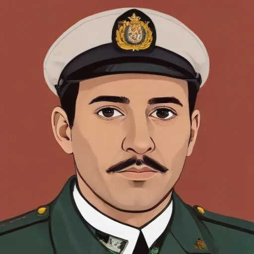
A Spanish cartographer, engineer, and military officer who mapped and surveyed the territories of Spanish Louisiana and Spanish West Florida, playing a crucial role in shaping the region's history.
Vicente Sebastián Pintado is renowned for conducting surveys of lands for settlers in Louisiana and Spanish West Florida, creating a legacy of cartography that has endured for centuries. His most notable work is the "Pintado plan," a meticulously crafted street map of Pensacola drawn in 1812, which included the precise positioning and dimensions of solares designated for the construction of the city's church and other public buildings.
Born on February 20, 1774, in Santa Cruz de La Palma, Canary Islands, Spain, Pintado was the son of Diego Eligio Pintado and Antonia de Brito y Salazax. Although little is known about his youth, it is expected that he received a solid education in mathematics and design, which would later serve as the foundation for his cartographic skills.
In his early years, Pintado entered the Spanish military, where he swiftly rose through the ranks to become an officer. In 1793, he sailed for Havana, Cuba, aboard the barque La Hermosa María Yendo de Campo. During this journey, he prepared a maritime chart of latitudes, marking his debut as a cartographer. From Havana, he was ordered to Louisiana, a Spanish province at the time, where he would spend the next 25 years of his life.
Between 1794 and 1795, Pintado served under Baron Francisco Luis Héctor de Carondelet, the governor of Louisiana and West Florida, headquartered in New Orleans. Carondelet entrusted Pintado with the command of a sloop, tasking him with carrying out various commissions, operating from the Gulf of Mexico to the Mississippi River.
In 1974, the Library of Congress in Washington, D.C. acquired the Pintado Collection, a treasure trove of approximately 1,500 documents, including maps, plats, letters, and other vital records. This corpus of work provides invaluable insights into the complex process of land sales in Florida and Louisiana during the late 18th and early 19th centuries.
Vicente Sebastián Pintado's meticulous cartography and surveying work have left an indelible mark on the American South. His maps and plats continue to serve as essential tools for historians, researchers, and urban planners, offering a unique window into the region's evolution and development.
Vicente Sebastián Pintado's remarkable life and work continue to inspire and inform our understanding of the American South, earning him a place in the annals of cartographic history.
Born in 1754
Discovered the element tungsten and developed a method for isolating it, making significant contributions to the field of chemistry. Known for his work on mineralogy and metallurgy.
