


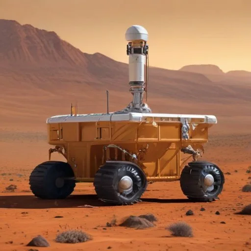
The Mars Global Surveyor's impressive cargo included a suite of six scientific instruments designed to collect a vast amount of data about the Red Planet. One of the most critical instruments was the Mars Orbiter Laser Altimeter (MOLA), which used laser pulses to measure the distance between the spacecraft and the Martian surface. This instrument was crucial in creating the highly accurate topographic map of Mars.
The MOLA instrument was capable of collecting data with an accuracy of within 100 meters, allowing scientists to create detailed maps of Mars' surface features, including its towering volcanoes and sprawling canyons. The data collected by MOLA was also essential in determining the Martian gravitational field, which helped scientists better understand the planet's internal structure.
In addition to MOLA, the Mars Global Surveyor also carried the Mars Orbiter Camera (MOC), which captured high-resolution images of the Martian surface. These images provided scientists with valuable insights into the planet's geology and climate patterns.

Dr. Maria Zuber, the Principal Investigator of the Mars Global Surveyor's topography experiment, is a renowned planetary scientist who has dedicated her career to studying the Red Planet. Born in 1958, Zuber earned her Ph.D. in geophysics from Brown University in 1986. She is currently the Vice President for Research at the Massachusetts Institute of Technology (MIT).
Throughout her career, Zuber has received numerous awards for her contributions to planetary science, including the NASA Distinguished Public Service Medal and the American Geophysical Union's Harry H. Hess Medal. Her pioneering work on the Mars Global Surveyor has paved the way for future Mars missions and inspired a new generation of scientists and engineers.
The Mars Global Surveyor's technological innovations had a significant impact on the development of future Mars missions. The mission's success demonstrated the importance of orbiters in planetary exploration, paving the way for subsequent orbiters like NASA's Mars Odyssey and Mars Reconnaissance Orbiter.
The Mars Global Surveyor's Autonomous Navigation System (ANS) allowed the spacecraft to navigate autonomously, without the need for constant human intervention. This technology has since been adopted in various forms by other spacecraft, enabling them to operate more efficiently and effectively.
The mission's emphasis on precision mapping and topography also led to significant advances in Geographic Information Systems (GIS) and remote sensing technologies, which have been applied in various fields, including environmental monitoring, urban planning, and natural disaster management.
The Mars Global Surveyor's findings have had a profound impact on our understanding of the Red Planet's geology and climate. The mission's discovery of recent volcanic activity, massive dust storms, and evidence of water ice at the poles has greatly advanced our knowledge of Mars' internal processes and its potential for supporting life.
The mission's data has also contributed to a better understanding of the Martian climate, including its seasonal patterns and geological history. This knowledge has been essential in informing climate models and predicting the effects of climate change on our own planet.
The Mars Global Surveyor's legacy is a testament to the power of human curiosity and the importance of space exploration. The mission's groundbreaking discoveries have rewritten the textbooks on Mars and have inspired a new generation of scientists, engineers, and explorers.
Historians of science often cite the Mars Global Surveyor as a prime example of the 'exploration-exploitation' model, where initial exploratory missions pave the way for more targeted and applied research. This model has been instrumental in shaping the course of space exploration and has far-reaching implications for the future of planetary science.